http://msi.nga.mil/NGAPortal/DNC.portal?_nfpb=true&_pageLabel=dnc_portal_page_72

Limited redirecting information from governments and corporations leaves us lost
por favor, publica enlaces, las coordenadas geoespaciales conocidos

ดาวน์โหลด kml/kmz:
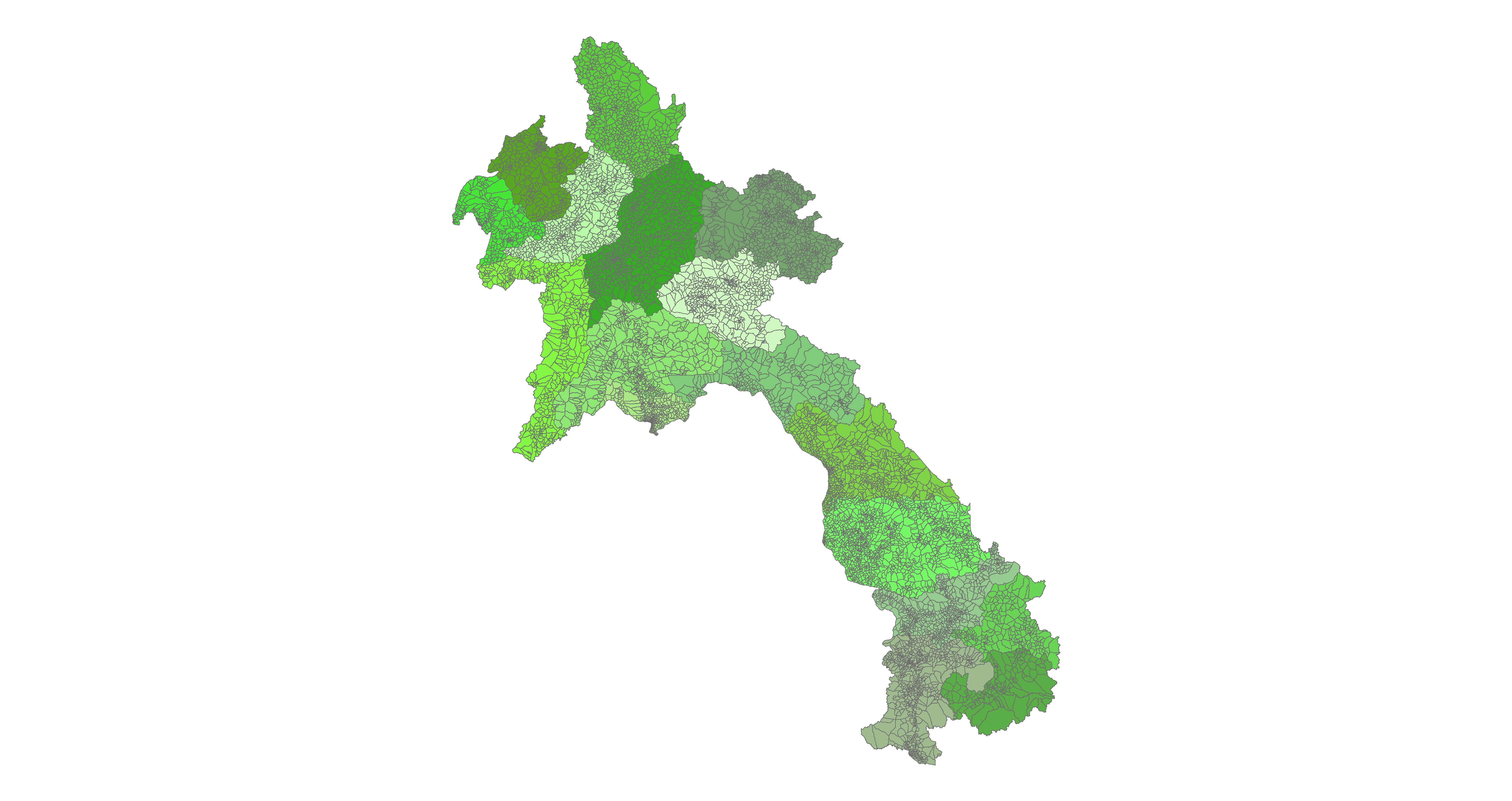
เขตการปกครอง GIS
กรุงเทพ GIS
Bangkok GIS
Thailand Roads GIS
Thailand Boundary Data

IFR Enroute Aeronautical Charts and Planning
http://aeronav.faa.gov/enroute/02-06-2014/porc_pdf.zip
1:500,000 Scale Tactical Pilotage Chart Series
http://www.lib.utexas.edu/maps/tpc/europe-asia-africa-index.html
Southern Vietnam 1:250,000 JOG
Click to access nc-4815_geo.pdf
Largest Open Airports Database:
Imagery:
http://www.blackbridge.com/rapideye/news/action/malaysiaair.html
http://www.tomnod.com/nod/ **Note users claim slow speed and cannot connect**
DAFIF shapefile data:
http://geodata.pdc.org/geodata/world/runways_poly.zip
http://geodata.pdc.org/geodata/world/runways_point.zip
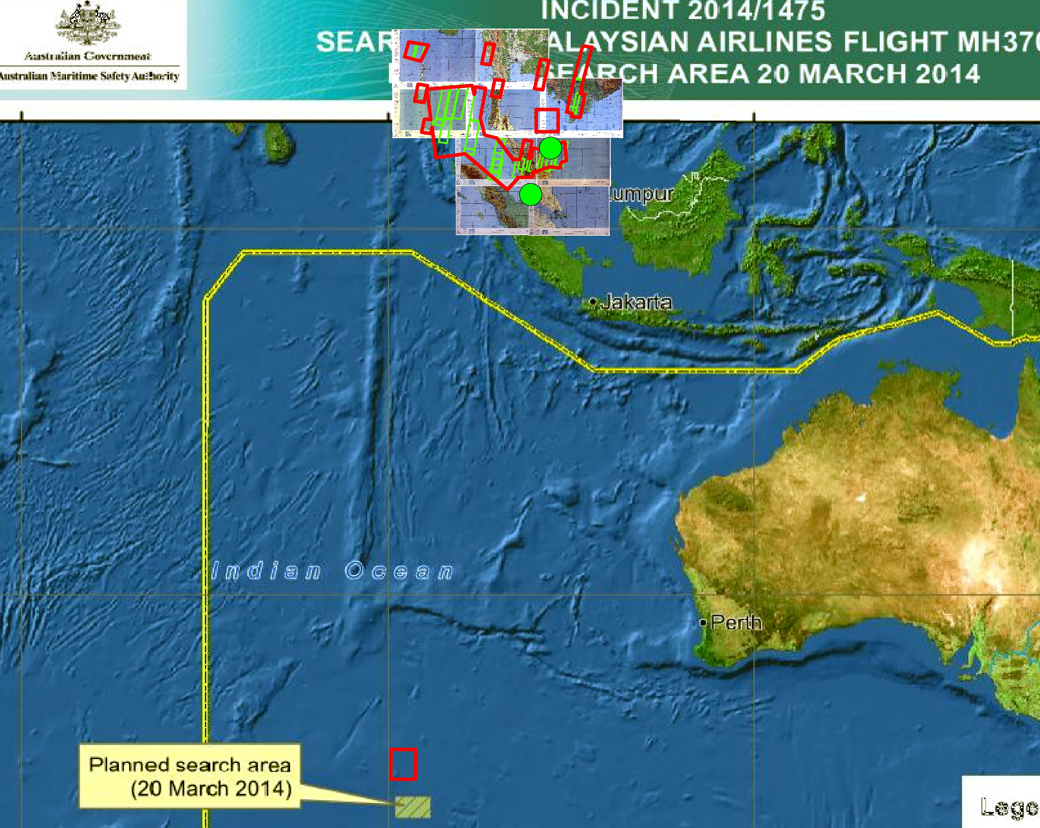
Malay Govt as of 3/11/14:

Software:
http://www.qgis.org/en/site/forusers/download.html
Updated Docs:
https://docs.google.com/spreadsheet/ccc?key=0AnWOaQwrCb5cdGNmMkQxd2RrV1RPTkZzZE1TV1UwQWc#gid=0
Passenger List:
Click to access Malaysia%20Airlines%20Flight%20MH%20370%20Passenger%20Manifest_Nationality.pdf
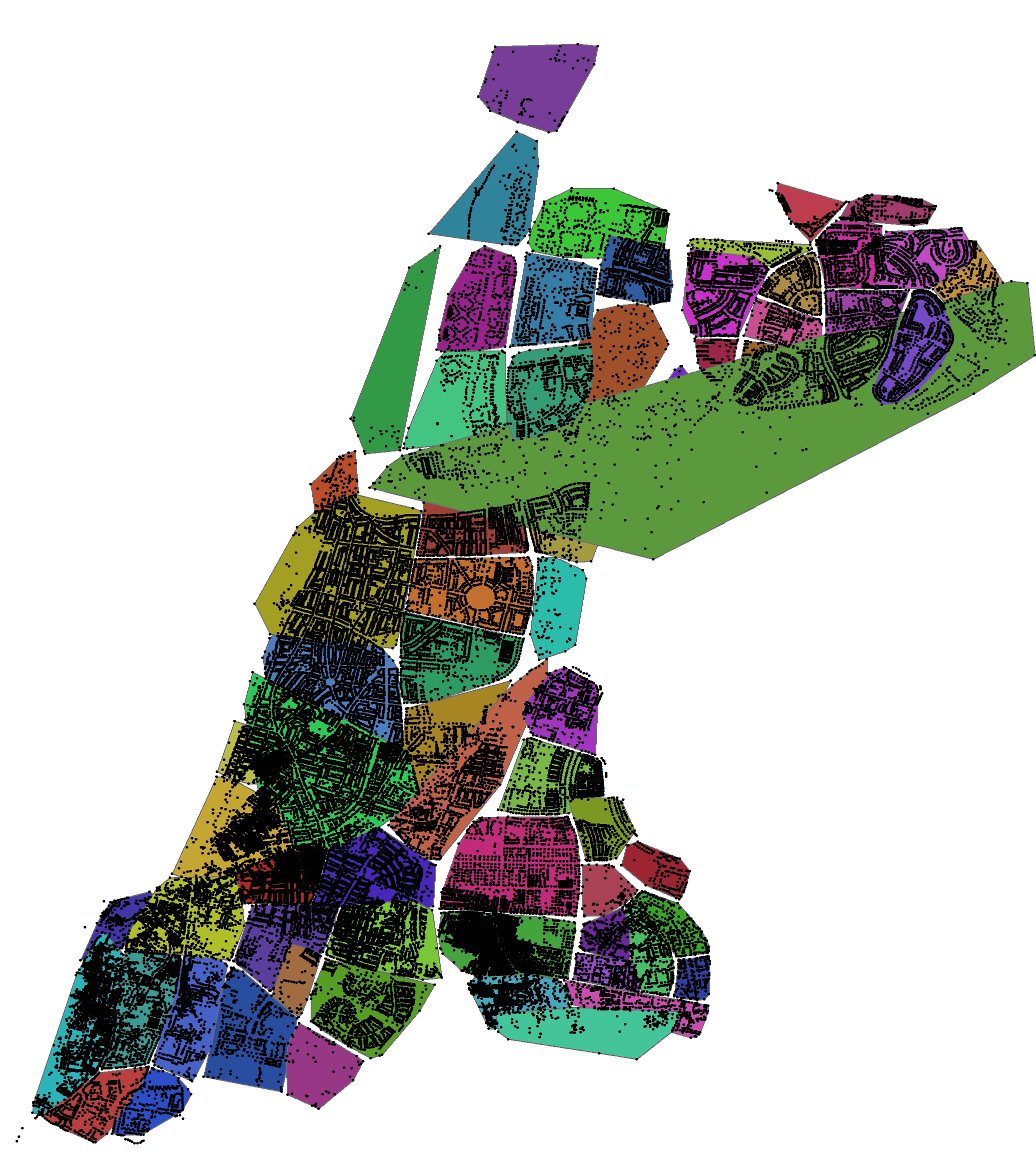
Indonesia Peta:


العربية:http://www.citc.gov.sa/Arabic/New/PublicConsultation/Pages/a30.aspx
المنطقة الإدارية
المحافظة
المركز
التجمعات السكانية
English:Administrative District, Mohafadat, Markaz, Locality Geographic Coordinates
http://www.citc.gov.sa/English/New/PublicConsultation/Pages/a30.aspx